Please note the path from the border ridge to Davidson's Waterfall may still be closed due to fallen trees.
There are plenty of waterfalls dotted around the Cheviots, but Davidson's Linn has a fair claim to being one of the best. The slight problem is getting there.
Hidden away in Upper Coquetdale and surrounded by Uswayford Forest, it's around 5km as the crow flies from the nearest public road. This route deliberately takes the scenic option, starting beside the River Coquet before heading through Shillhope Cleugh, across to the Usway Burn and eventually into the forest to find the falls.
Then we've got to get back, via Kyloe Shin and the 501 metre summit of Shillhope Law.
At nearly 22km with more than 1,000 metres of ascent, it's a big day out, but you'll see some wonderfully remote parts of the Cheviots along the way.
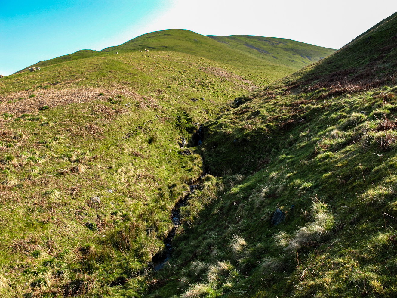 Shillhope Cleugh
Into the hills
The walk starts beside the River Coquet, a few miles beyond Alwinton.
The road through Upper Coquetdale is an adventure in itself, twisting alongside the river and crossing a succession of little bridges. Robert Hugill described it in 1931 as a rough road through a deep grassy gorge which wasn't yet suitable for motorists.
Fortunately things have improved a bit since then. Our first section follows the old road above the River Coquet, once known as Shillhope Racks, with Dumbhope Law across the valley.
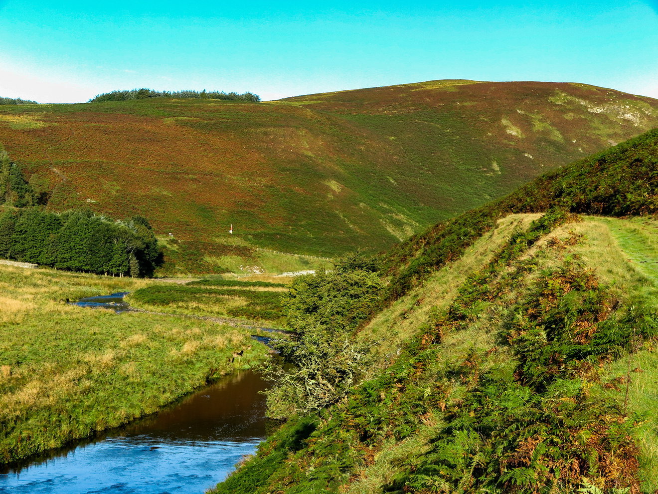 Shillhope Racks and the River Coquet
After passing a circular sheep stell we reach Shillhope Cleugh, cutting between Inner Hill and Shillhope Law. This is where the legs get their first proper test.
There's not much of a path as we climb through the cleugh, just the occasional faint trace through the grass and heather. It's rough in places, but wonderfully quiet and there's a good chance you won't meet another soul. Once over the top, we head down towards the Usway Burn.
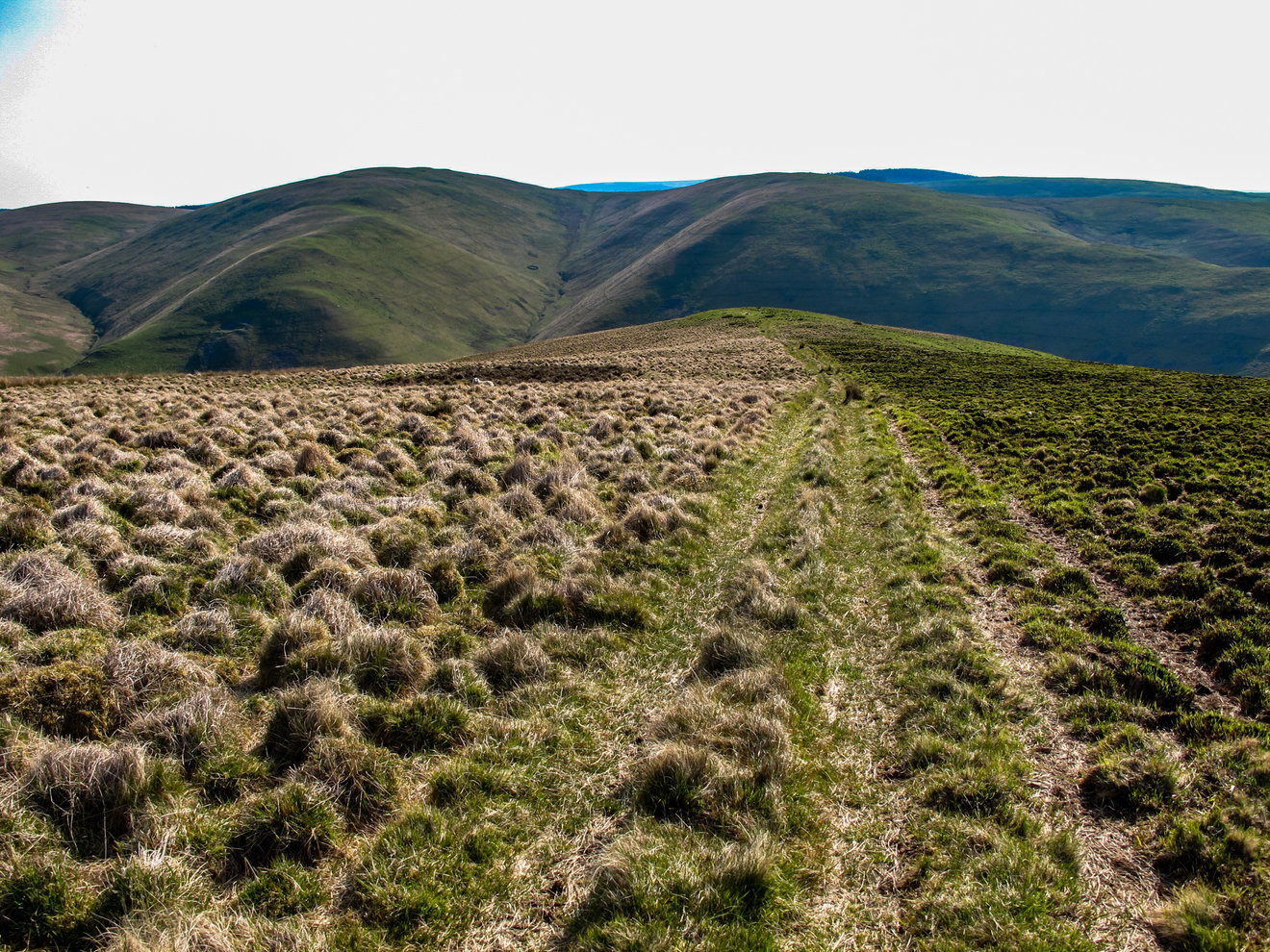
The descent comes with some cracking views and there's even a little waterfall hidden away in Lee Cleugh if you fancy a short diversion. After crossing the Usway Burn, the route passes Batailshiel Haugh, known locally as Battleshield, before beginning the long climb towards Clennell Street.
On the way, another optional detour takes you onto The Castles, where you get a near vertical view down towards the Usway Burn.
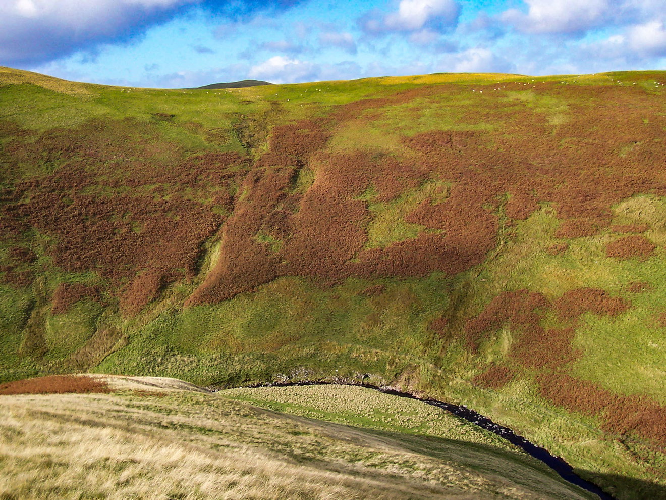 Near vertical views from The Castles
Clennell Street and Uswayford
Eventually we reach Clennell Street, one of the great old routes through the Cheviots.
The landscape around here has changed significantly over the years as sections of Kidland Forest have been harvested and replanted. For the moment there are views which were hidden behind mature trees for decades, although the new generation of forest is already growing.
The route heads through this changing landscape towards the saddle between Yarnspath Law and Bloodybush Edge.
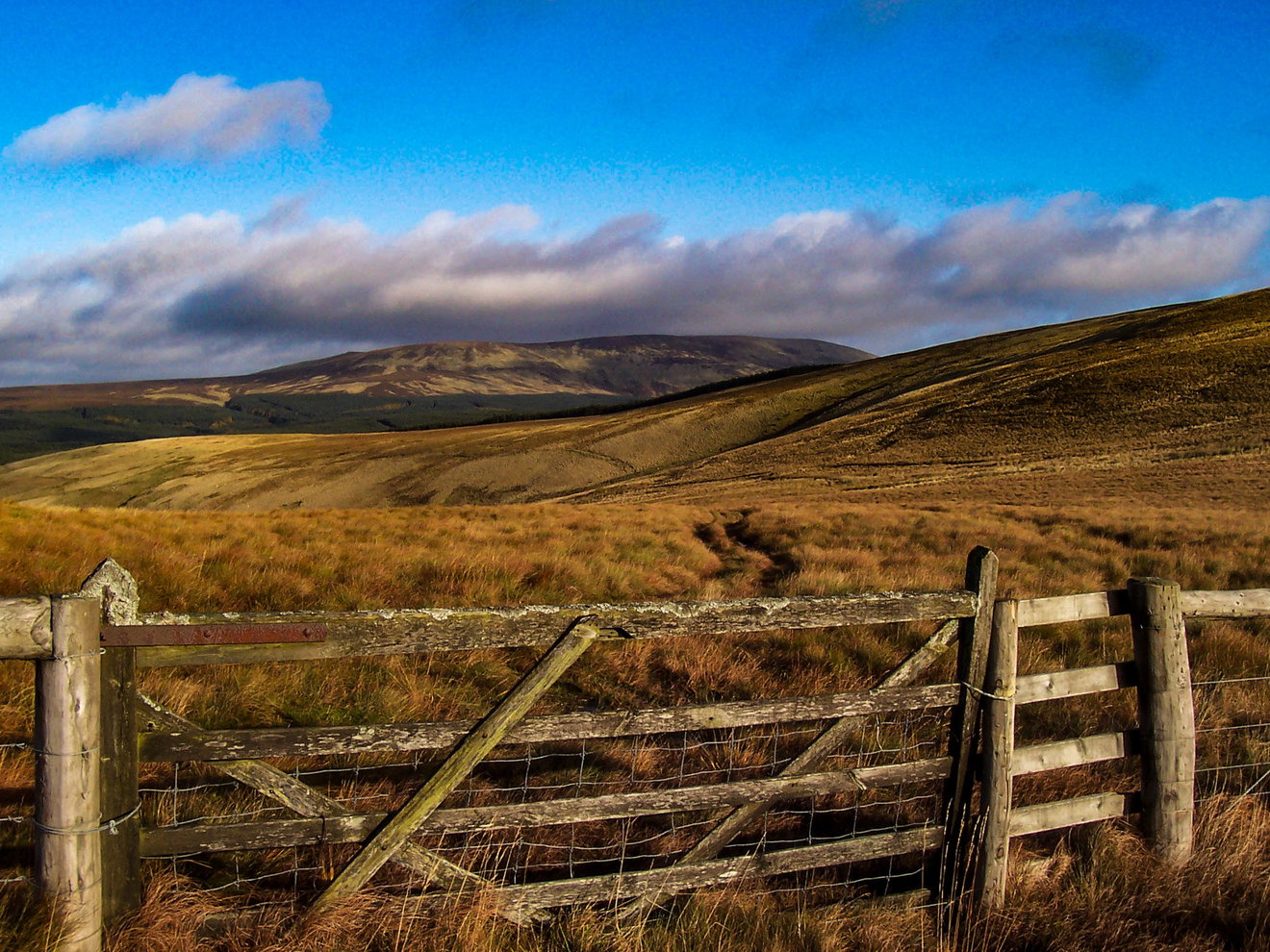 The saddle between Yarnspath Law and Bloodybush Edge
From here we drop towards Uswayford. Writing in 1950, F. R. Banks described the farm as being attractively situated where a tributary meets the Usway Burn and recommended exploring the burn above the farm.
That's exactly where we're going. Following the Usway Burn brings us to its meeting with the Clay Burn, a lovely quiet spot beneath the surrounding hills.
It's tempting to stop here. Don't. Davidson's Linn isn't far away.
Davidson's Linn
After crossing the Clay Burn, we head into Uswayford Forest and suddenly swap open hills for dense conifers. The going can be wet and messy in places, but eventually the trees open up beside the Usway Burn.
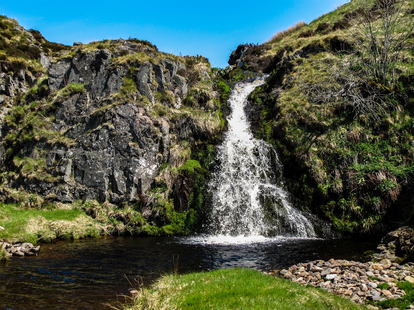
And there it is. Davidson's Linn tumbles into a dark, peat-coloured pool surrounded by rock, moss and grass. After plenty of rain it's particularly impressive, while late spring brings primroses around the falls.
David Dippie Dixon was writing about Davidson's Linn as far back as 1903, describing it as a fine waterfall of considerable height. More than a century later, it's still a cracking spot. And after everything we've walked to get here, this is definitely the place to get the sandwiches out.
Heading back
Eventually we have to drag ourselves away and start heading back towards Clennell Street. This gives us a welcome stretch of easier walking before descending Hazely Slack, with views towards the hills still waiting for us on the journey home.
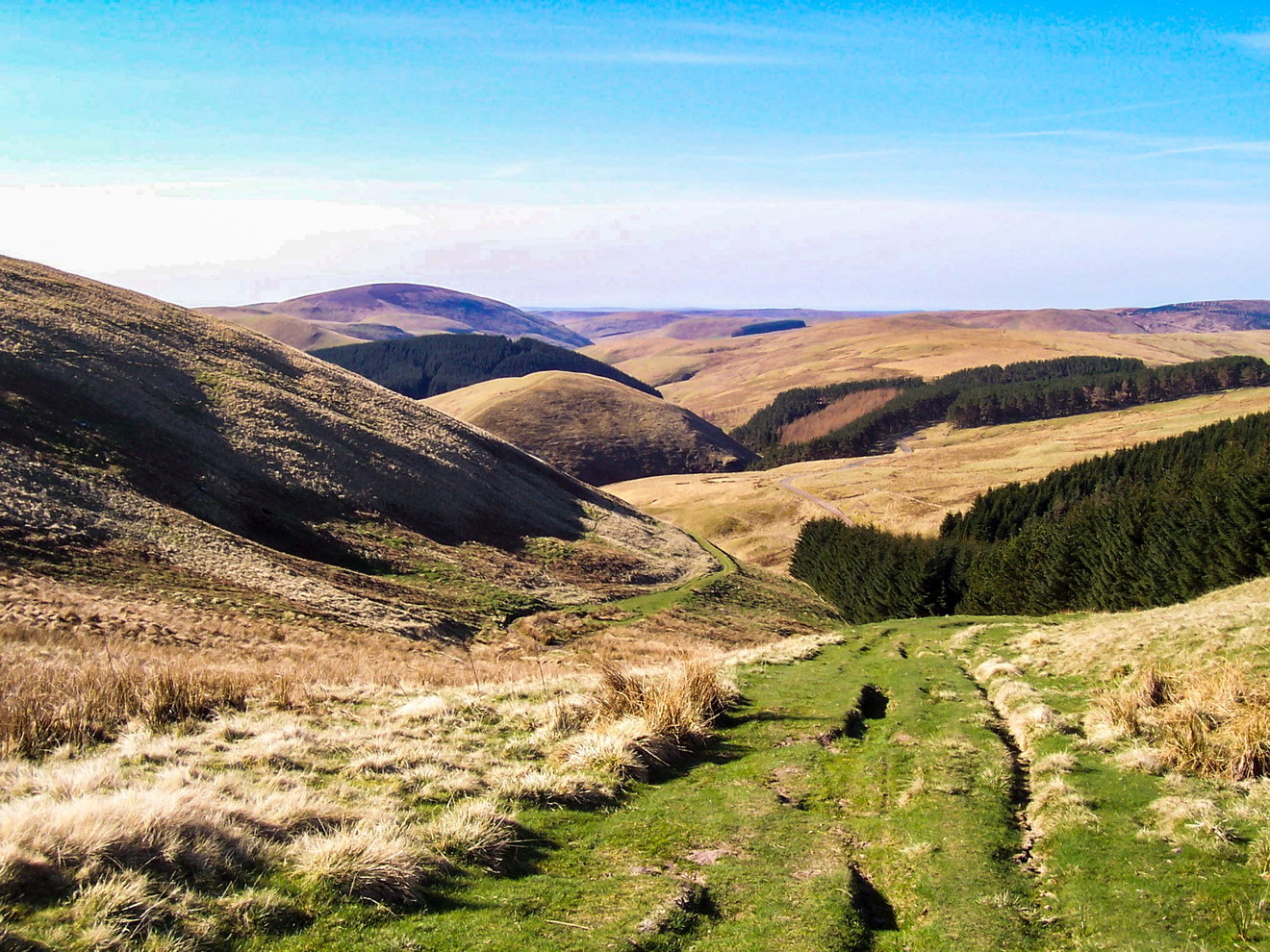 Descending Hazely Slack
Ahead are The Middle, Middle Hill and Shillhope Law.
The route skirts around The Middle before heading through the forest and over Middle Hill. Forestry work means this area can look quite different from older photographs and maps, but before long we're back out on the open hill.
And there's another climb waiting.
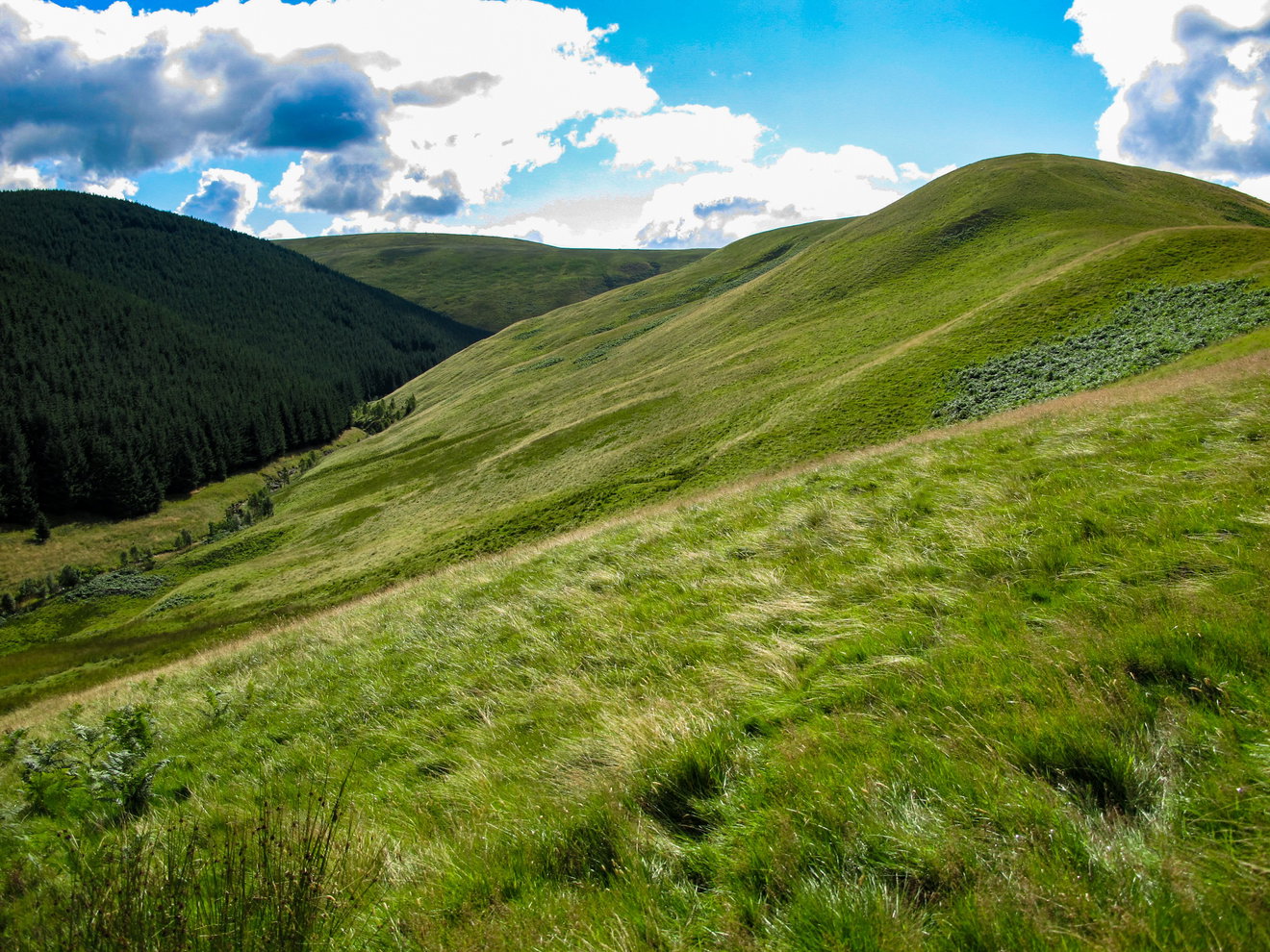 The climb to Kyloe Shin
Kyloe Shin and Shillhope Law
At 433 metres, Kyloe Shin doesn't have an obvious marked summit, so finding the absolute highest point involves a little educated wandering. From here there's a lovely ridge across towards Shillhope Law.
Unfortunately, Shillhope Law is also significantly bigger. By now there are plenty of miles in the legs and the final climb through the heather is a bit of a slog. Just keep plodding and remember to turn around occasionally because the views behind are worth the effort.
Eventually the trig point and shelter cairn appear on the 501 metre summit. And that's the last big climb done. From Shillhope Law we drop back towards Upper Coquetdale, with Bygate Hall Cottages appearing below as the River Coquet comes back into view.
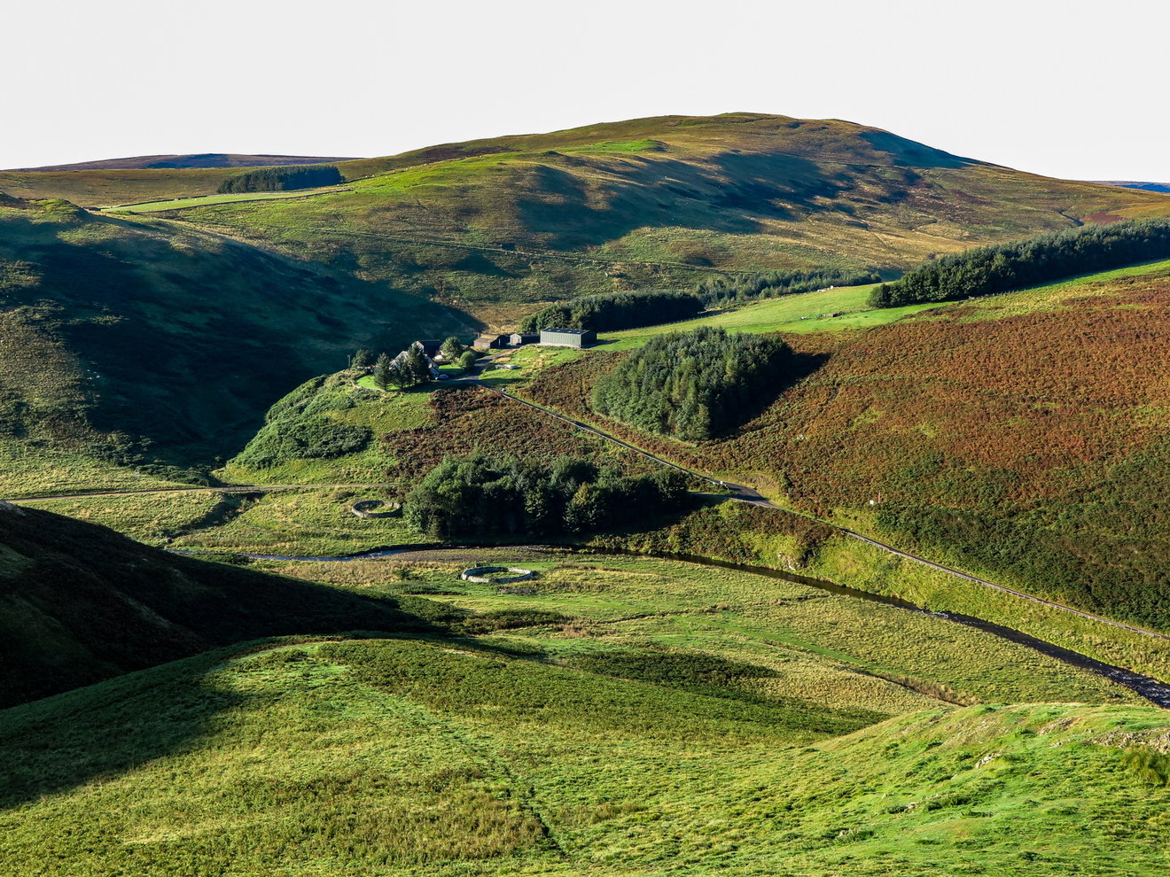 Descending with views of Bygate Hall Cottages
Before long we're back beside the river and only a short wander from where we started. We've crossed remote cleughs, followed old routes through the hills, visited Uswayford and found one of Northumberland's finest waterfalls hidden away in the forest.
Davidson's Linn takes a bit of effort to reach. That's probably why it's so good.