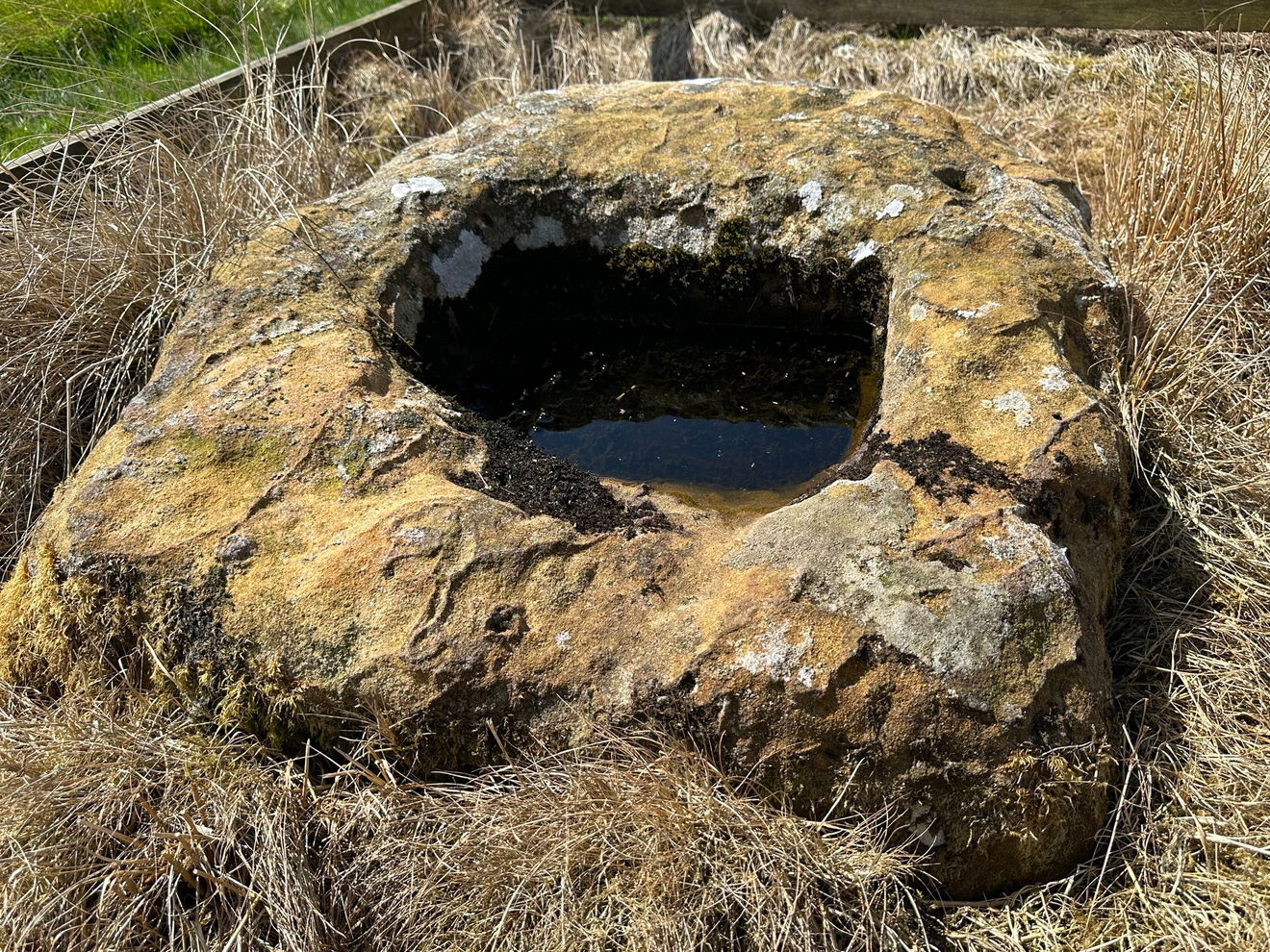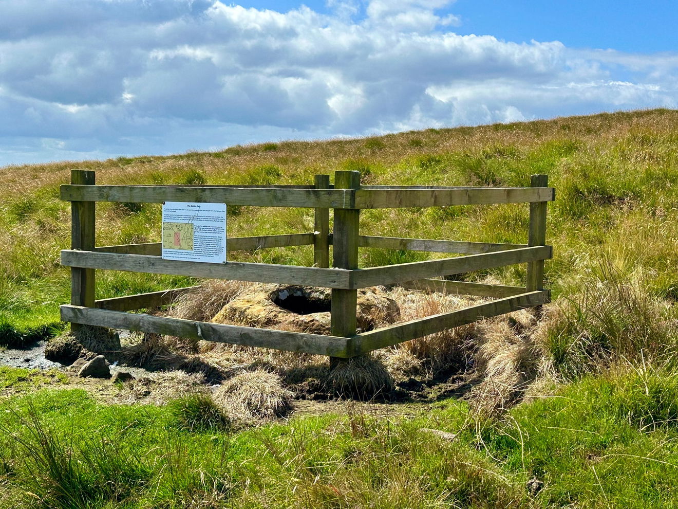
Five stones are alleged to remain along the old route of Dere Street on the western side of the Roman Way. This is the one of them and is known as the Outer Golden Pot.
Driving from Redesdale to Chewgreen our eyes are usually always cast to the east and one of our favourite views in Northumberland, so unbelievably, we must have missed this over decades of driving this route in all weathers, summer solstices and winter snows, but today saw us for some reason slow down and spot this strange little stone.
Fenced off, and not mincing me words, surrounded in ewe poo, the Outer Golden Pot sounds a bit more glam and up market than what was in front of my peepers. There are a number of theories on what it is and why it's there.
This pot was originally thought to have been a Roman milestone. Other perspectives state that the stone is said to be a socket hole or base of a cross, possibly 14th century.
It's wild to think that in these wilds something spilling over from seven hundred years ago is just kicking by the kerbside.
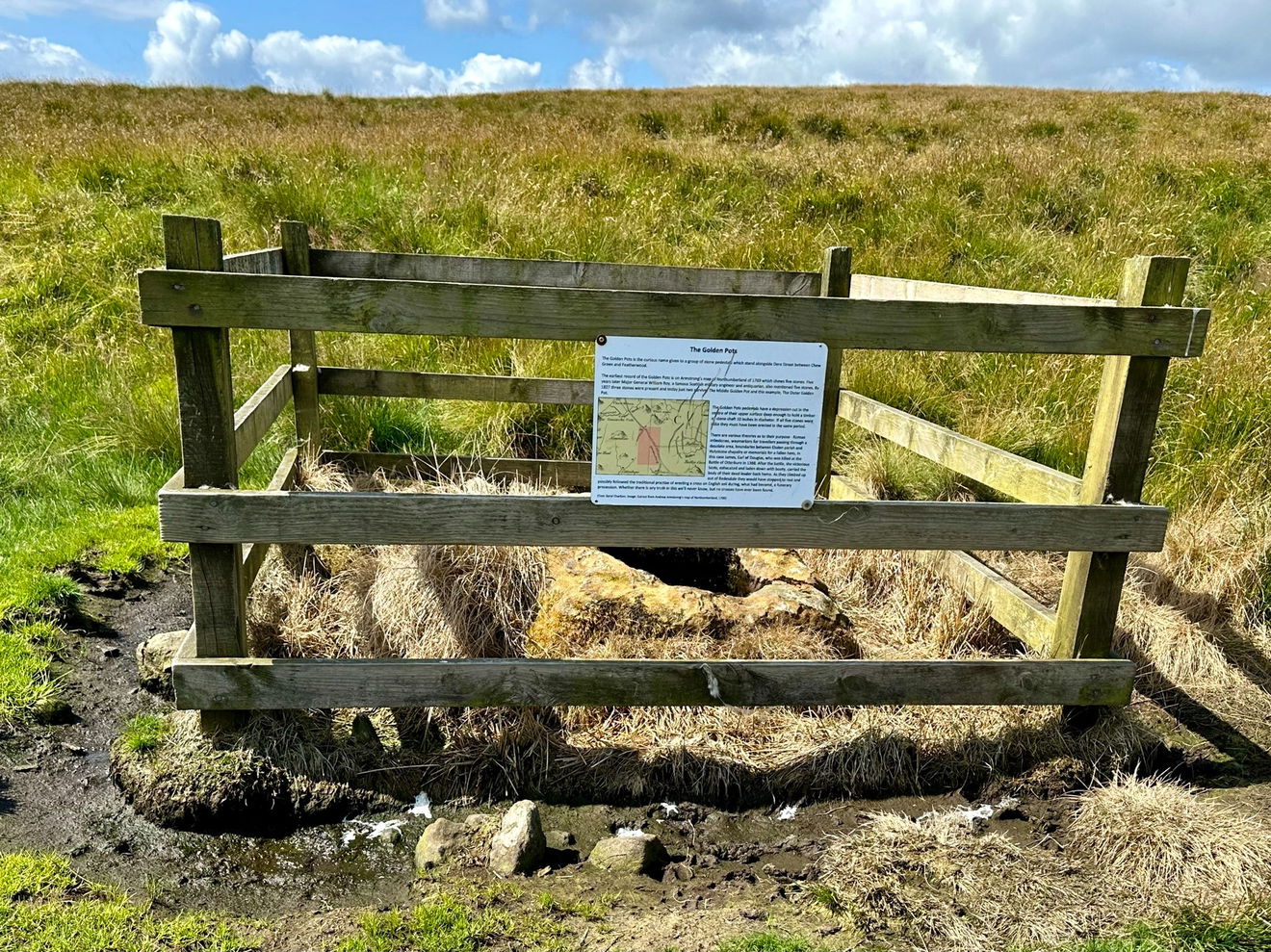
Fenced off and whipped by moorland winds, the Outer Golden Pot is mentioned in a document of 1228 however as The Goldingpottes and Goldingpot and it's thought that these stones may have been waymarkers to delineate the boundaries between Elsdon and Holystone.
Filled with rainwater, a little bit of algae and some somersaulting insects, the cross base was just a little off the road.
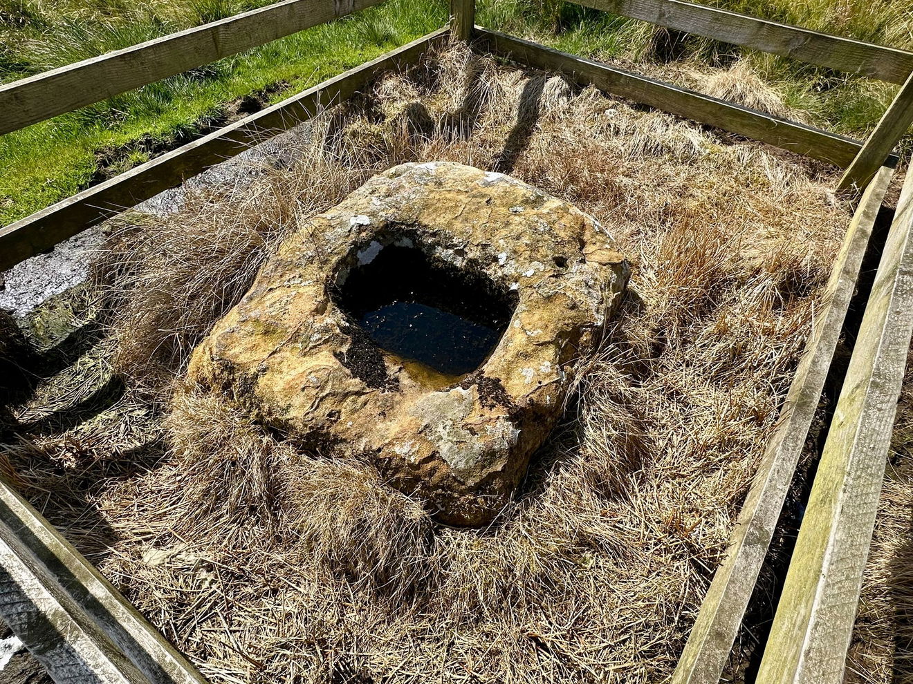
Historic England records the Outer Golden Pot as a:
'Crossbase, Medieval, possibly base of wayside funerary cross to Sir James Douglas, killed in Battle of Otterburn 1388. Sandstone.'
But then confusingly adds a second reference for it being recorded as a Medieval Wayside Cross. Such crosses were functional to reiterate and reinforce the Christian faith to pilgrims travelling between way markers on rough and inhospitable terrain. The crosses were thought to have marked the path of routes which held religious significance, leading the way to religious sites or perhaps old fashioned coffin roads.

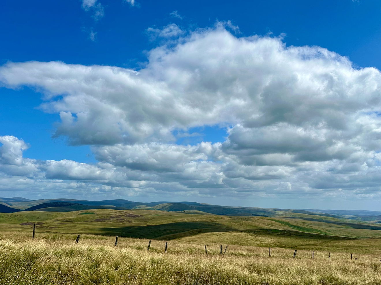
We stopped briefly to marvel at the Outer Golden Pot and the view towards Chew Green then went on our way, with no one having popped their clogs or lost their way, but an interesting little find for a Saturday.
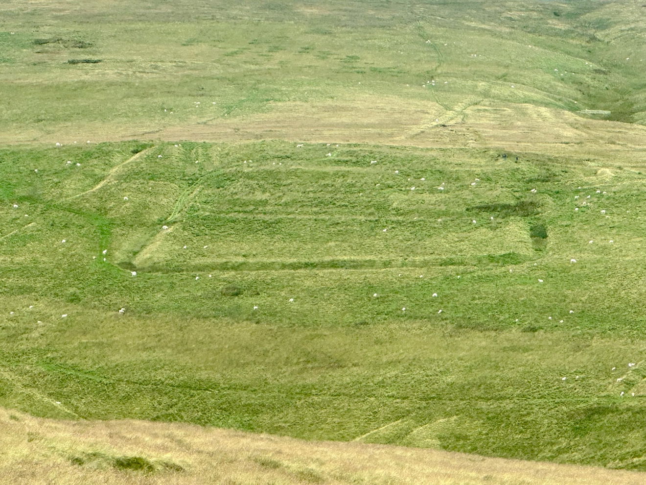
The Outer Golden Pot is represented on Armstrong's map of 1769 by a symbol thought to represent a cross socket and a stump of shaft. The monument is also Listed Grade II.