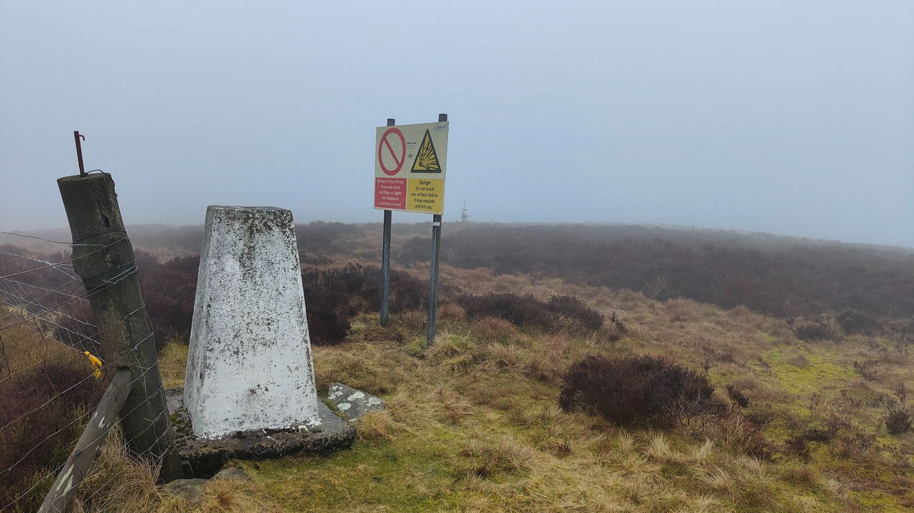
This is the trig point sitting on top of Dour Hill (415m) just on the outskirts of the Otterburn Ranges near Byrness.
From the parking area just head through the gate and follow the quad bike track to the cairn. There is a permissive path up to this further east, but means walking on the road for a bit.
Once at the cairn, just follow the edge of the forest all the way to the trig point. Around 2.5km to get there with 182m ascent.
Please note this is on the Otterburn Ranges, so visit on a non-firing day.
Just follow this map, or find it on OS Maps.
Thanks to Michael Alexander for the photos and information.